Automatic
Satellite-triggered detections
Public heat starts a bounded camera check. Every saved detection keeps its frames, its solve and the reason it published, so a verdict can be read back and questioned.
Open the queueAccess code required
Embertrace
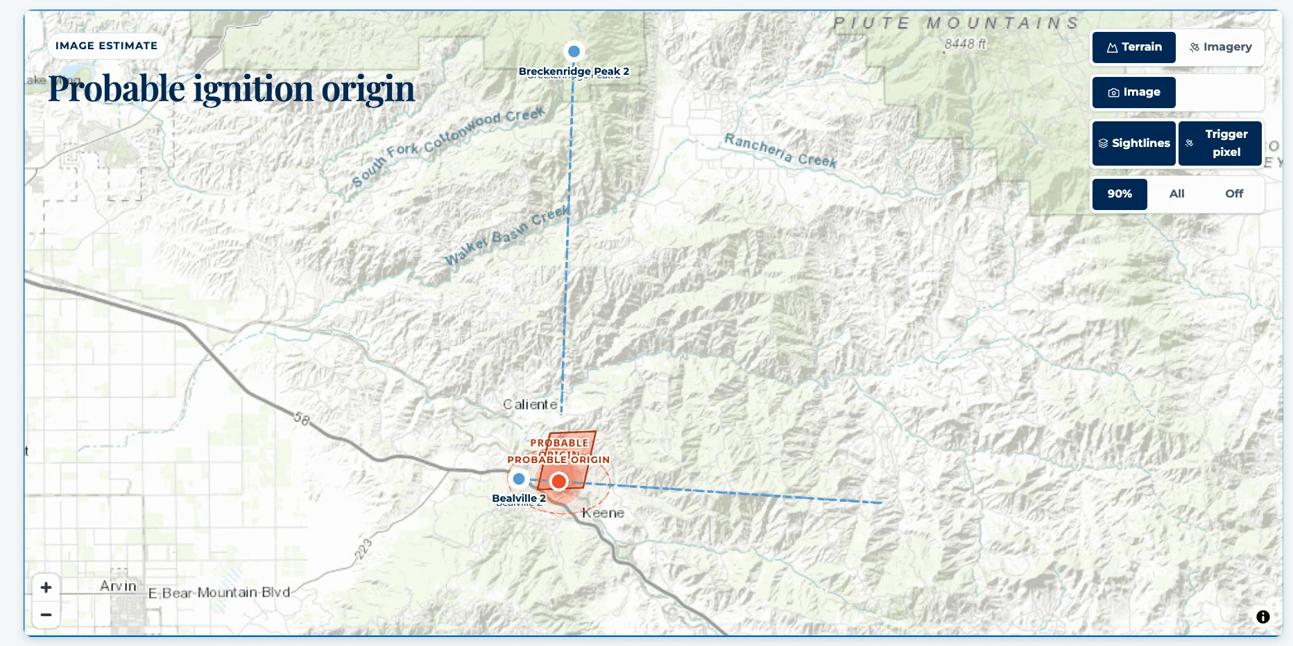
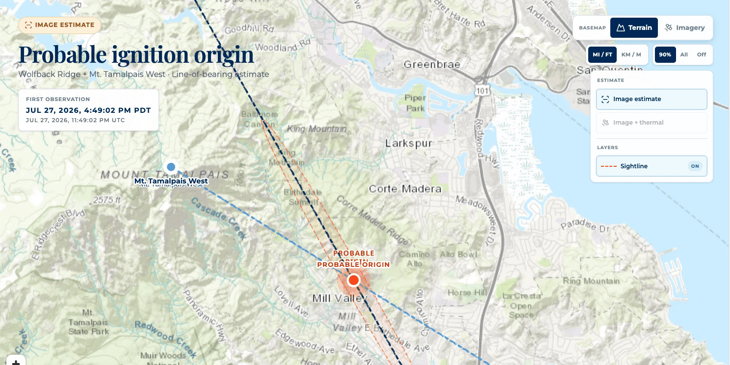
Satellite heat picks where to look. An ALERTCalifornia camera shows whether smoke is there. Embertrace turns both into a coordinate and the region around it.
A research prototype for the first minutes of a fire, not a dispatch product.
Automatic
Public heat starts a bounded camera check. Every saved detection keeps its frames, its solve and the reason it published, so a verdict can be read back and questioned.
Open the queueAccess code required
Analyst
Search a camera to pull its latest frame and pose, or upload your own image. One camera already gives a coordinate and its region. A second camera, or matching satellite heat, narrows it.
Open LocateAccess code required
A thermal pixel is active-heat evidence, not a confirmed ignition point, and visible imagery cannot establish heat, hotspots or acreage. Estimates carry uncertainty and are not a substitute for an incident report.